One platform for the whole grid corridor
Every carrier and every sensor reports to the same place: a span of your network and its poles. Over time that builds the span's life story, and GridGuardian turns it into the work list, sends it to the field, and checks the result.
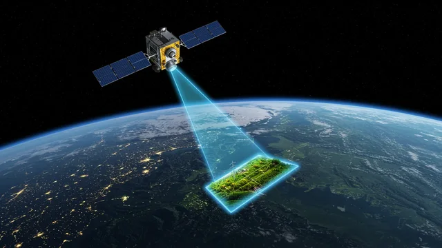 Satellite
- Base resolutioncontinuous, whole network
- High resolution 0.3–0.5 mtargeted, where flagged
Delivered as processed data
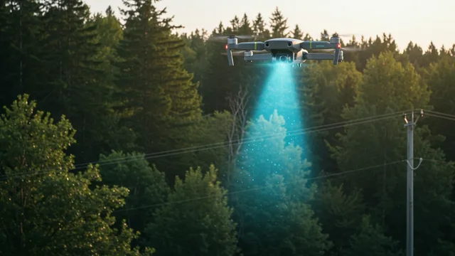 Drone
- LiDARclearance, fall-in, 3D
- Photo + AIpoles, insulators, defects
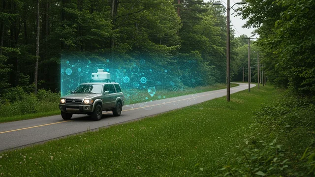 Vehicle
- Photo + AIpole inventory, roadside vegetation
 Field app
- Crew findingsphotos, offline, on the span
- Completion checkwhat was done, with evidence
Not a set of tools. One system.
With us you find all of it in one place. GridGuardian is built around one model of your network: four carriers (satellite, drone, vehicle, field app) and the sensors they carry, all feeding it.
Everything ties to a span
Every finding, photo, point cloud and work item is anchored to a span and its poles, with your own identifiers.
HC0 to HC3, across sensors
Satellite screening sets the class; LiDAR, imagery and field checks refine it. One list, sorted by risk.
Detection to verified completion
Work packages go to crews in FieldGuard, and the next satellite pass verifies the result.
Into your systems
API, SAP PM, Power BI and GIS. Processing on our own infrastructure; your network stays yours.
Pick what you need. It all lands in the same place.
Start with satellite screening of the whole network and add the precise tools only where the risk class calls for them. Each module has its own page with the details.
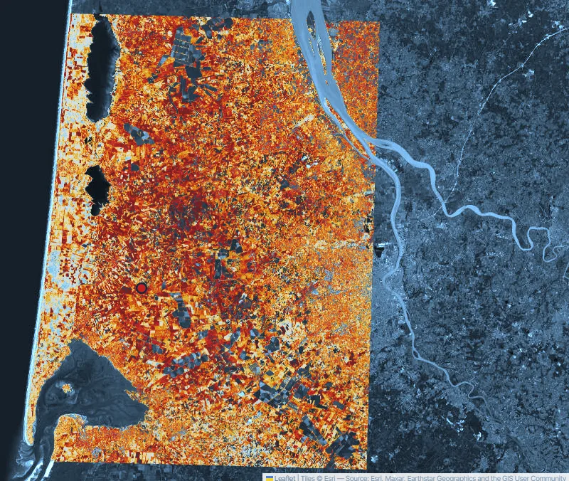
Dynamic Satellite Vegetation Management
Continuous, span-level screening of the whole network with adjustable buffer and environmental zones. The risk class starts here.
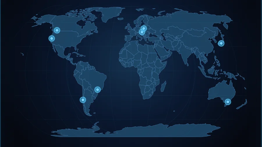
Talamone Atlas
The platform running in public: span-level vegetation risk on eight regions and four continents, with FireAtlas and the Gironde case.
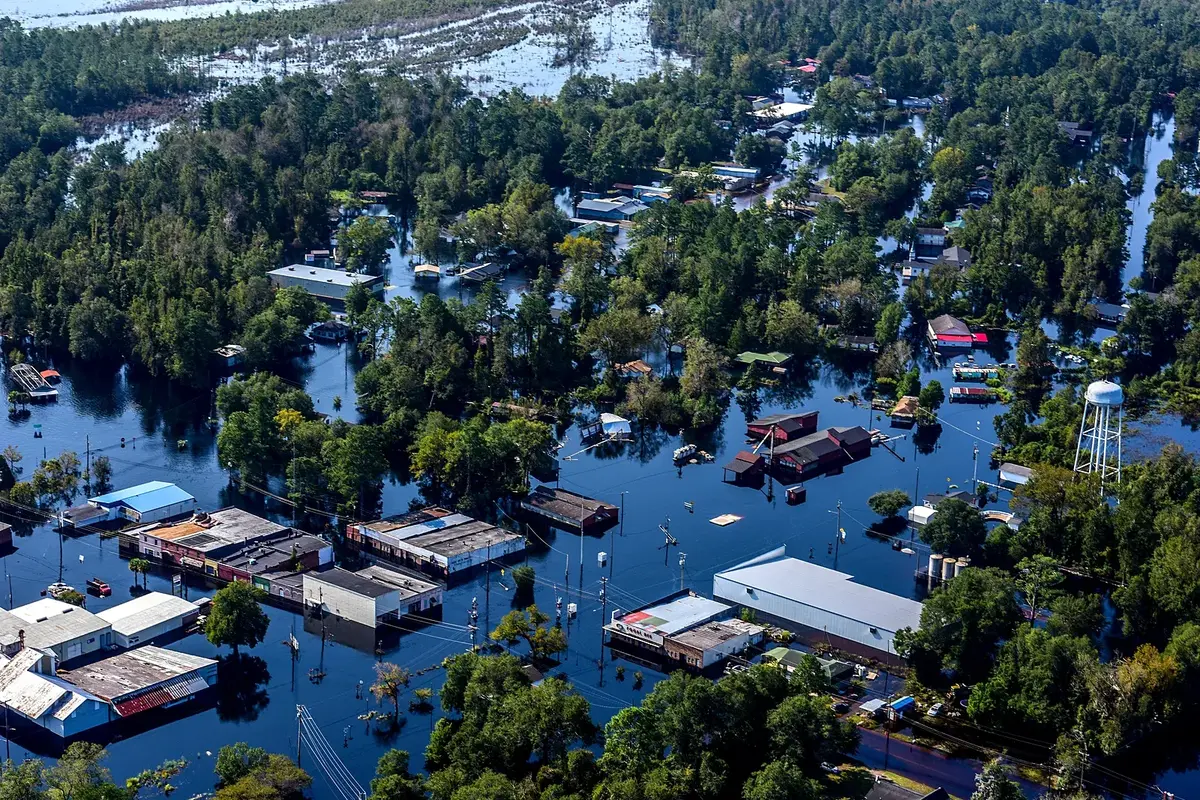
Event Response: the morning after a storm
Flood or hurricane: radar, optical and very-high-res archives show where the water stood, for how long, and which spans and poles it reached, ranked for the first patrol. Try it on three real events or your own area.
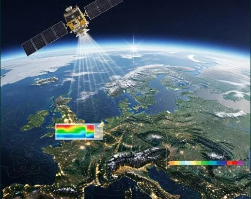
BioGuard & AgriGuard
Protected habitats, nesting seasons and species along the corridor; and the same satellite science for agricultural land.
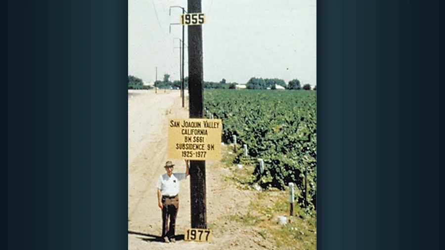
GroundGuard
Ground movement under every tower, pole and span, in millimetres per year: settlement, slope creep and subsidence, with years of history.
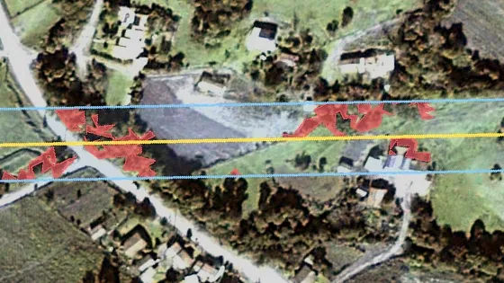
High-resolution satellite imagery
Single tree crowns in the clearance zone, buildings in the easement, water and storm damage, read along your lines. You choose the scene in the marketplace.
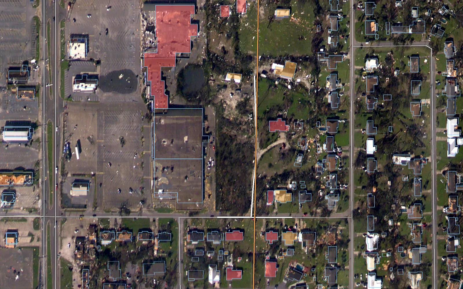
Building encroachment detection
Every structure in the right-of-way, tied to its span and pole, with distance to the conductor and the date it was first seen.
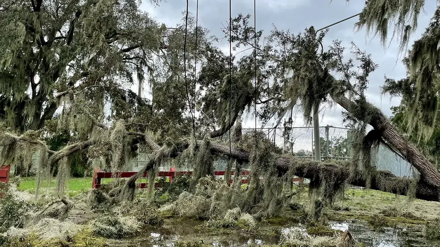
Storm damage assessment
Radar, satellite, aircraft, drone, vehicle and crew findings on one span and pole record, from the first hour to proof of repair.
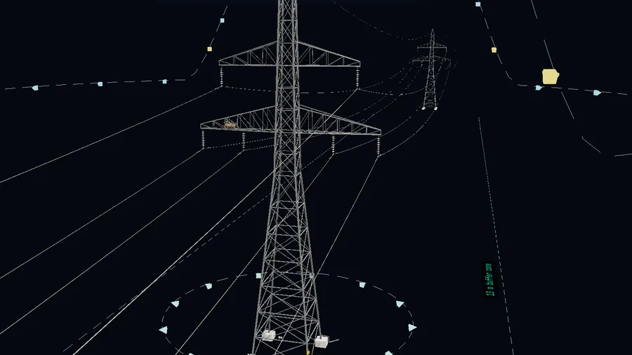
DroneGuard
From flight plan to report in one chain: pole and component photos, analysed on our own servers, delivered on a map.
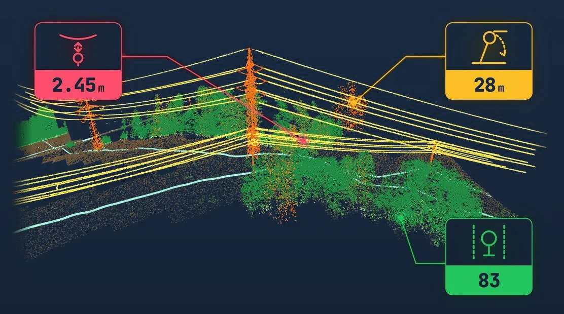
LidarGuard
Exact clearance, fall-in test and canopy height from point clouds, flown or uploaded where the risk class calls for it.
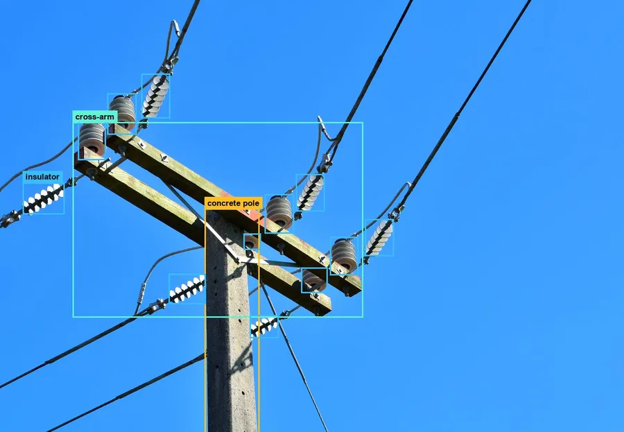
ImageGuard
Poles, cross-arms, insulators and defects detected in images from any source, reviewed and confirmed by people.

AutoGuard
The network surveyed at driving speed: pole inventory, assets on each pole and roadside vegetation in one pass.
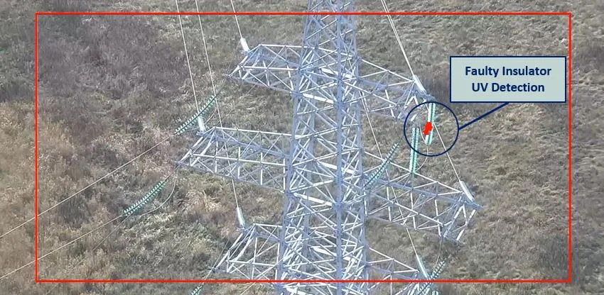
SensorGuard
Corona and partial discharge, gas, ice and dynamic line rating at the edge of the network, feeding the same risk picture.
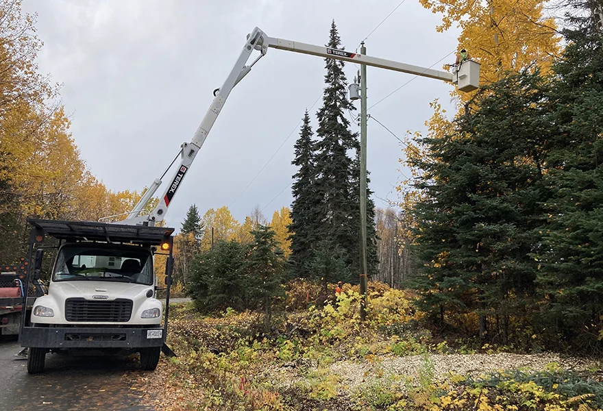
FieldGuard
Work packages, contractor quotes and an offline field app, closed by satellite verification of the finished work.
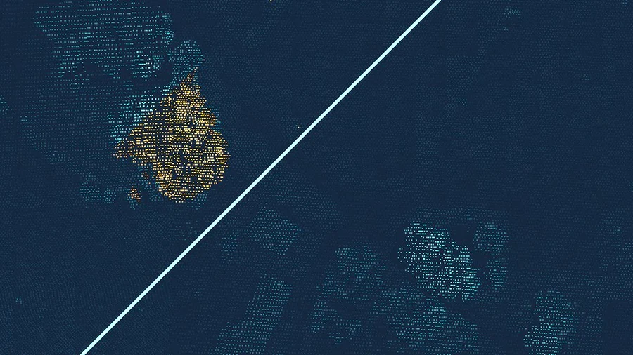
Self-service LiDAR analysis
Upload your own airborne LiDAR survey, or try a sample from five countries, and get the corridor answer: clearance, fall-in, trees, wires and poles.
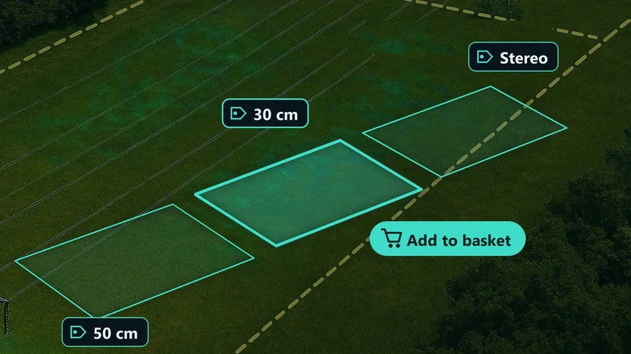
Satellite data marketplace
What high-resolution imagery exists for your corridor, and what it costs per kilometre: trees, buildings, encroachment, storm damage.
100 km free demo
Send a corridor and its network geometry: the base system is set up on about 100 km of your own network, at no cost.


About the platform
What is GridGuardian?
GridGuardian is a grid intelligence platform for power grid operators. Every sensor, from satellite to LiDAR, drone, vehicle and edge sensors, reports to the same span of the network and the same risk class, and the work goes to the field through the FieldGuard app.
Do I need every module?
No. Most operators start with satellite screening of the whole network and add LiDAR, high-resolution imagery, drone or vehicle surveys only where the risk class calls for them. Every module plugs into the same spans and the same risk picture.
How does it connect to our systems?
Risk classes, work packages and results are available through the API and can flow into SAP PM, Power BI and GIS. Your network geometry anchors every result to your own span and pole identifiers.
How do we start?
With the free 100 km demo: send a corridor and its network geometry, and the base system is set up on it at no cost.