Rigid structures on moving ground
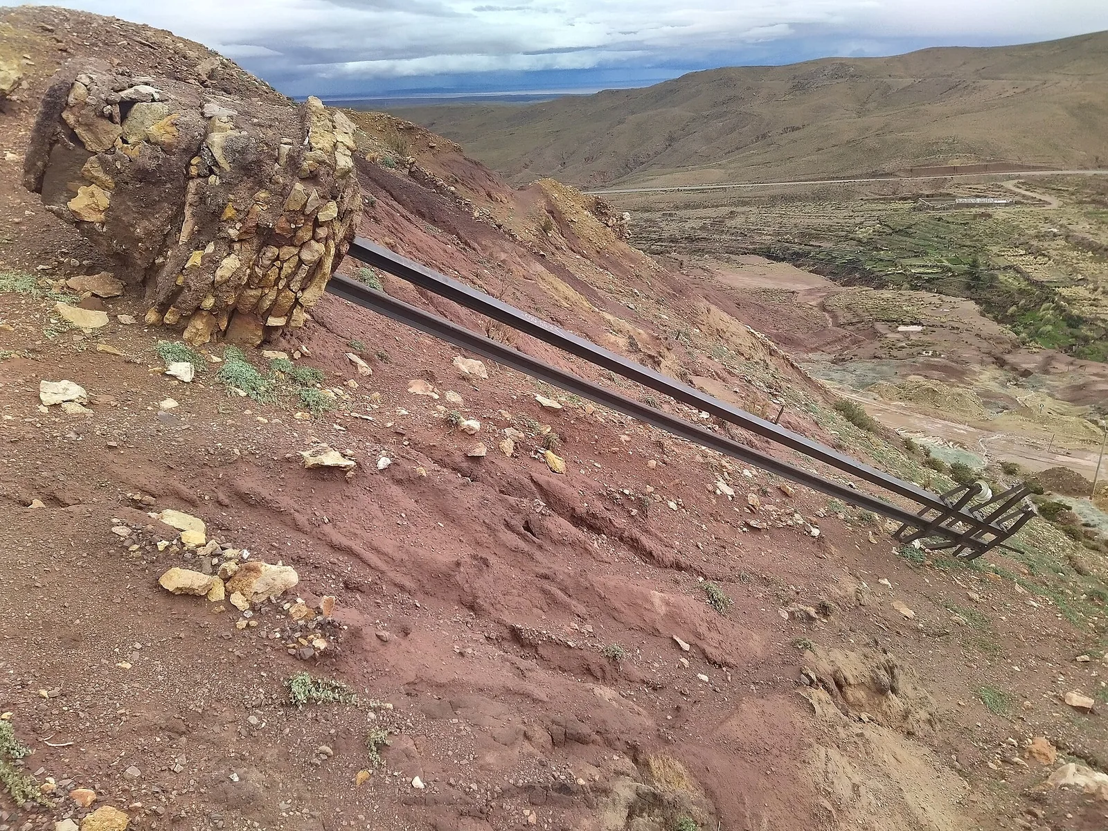
A lattice tower stands on four footings. If one settles more than the others, the tower leans and the load on conductors and insulators changes. A pole on a creeping slope tilts the same way.
GroundGuard · Satellite radar
Towers and poles stand on ground that can sink, creep or wash away, slowly and out of sight. GroundGuard reads satellite radar, past and present, and tells you which towers, poles and spans stand on moving ground, how fast it moves, and whether it is speeding up.
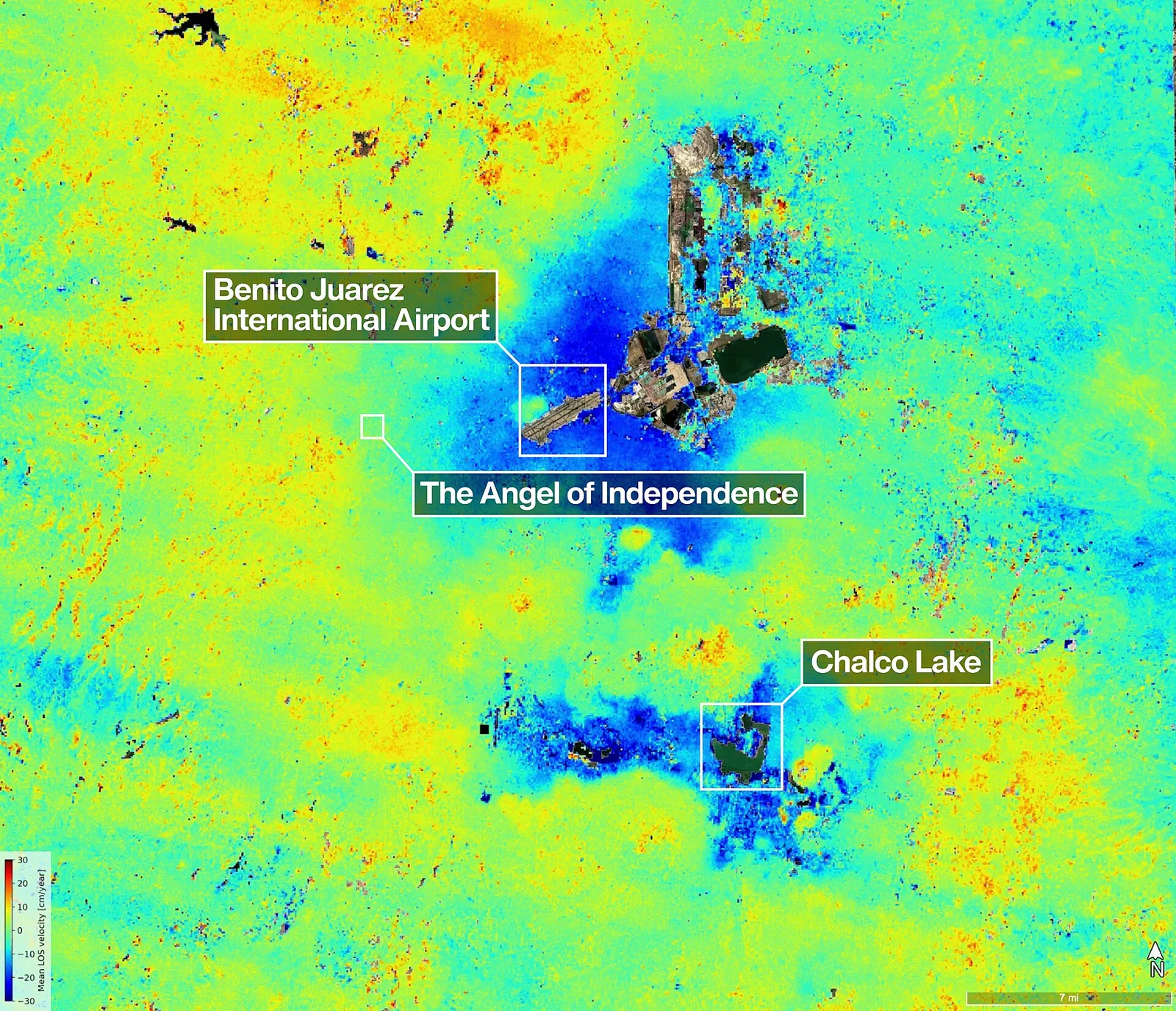
InSAR compares radar images of the same place taken on different passes of a satellite. If the ground moved in between, the radar wave comes back a fraction of a wavelength earlier or later.
Measured over many passes, this shows movement of a few millimetres per year. Radar sees through cloud and works at night, so the record has no gaps for weather. The archive reaches back years, so you see what the ground has done before anyone goes on site.
A lattice tower stands on four footings. If one settles more than the others, the tower leans and the load on conductors and insulators changes. A pole on a creeping slope tilts the same way.
A few centimetres a year cannot be seen on patrol. By the time a crack or a lean is visible, it is a repair, not a check.
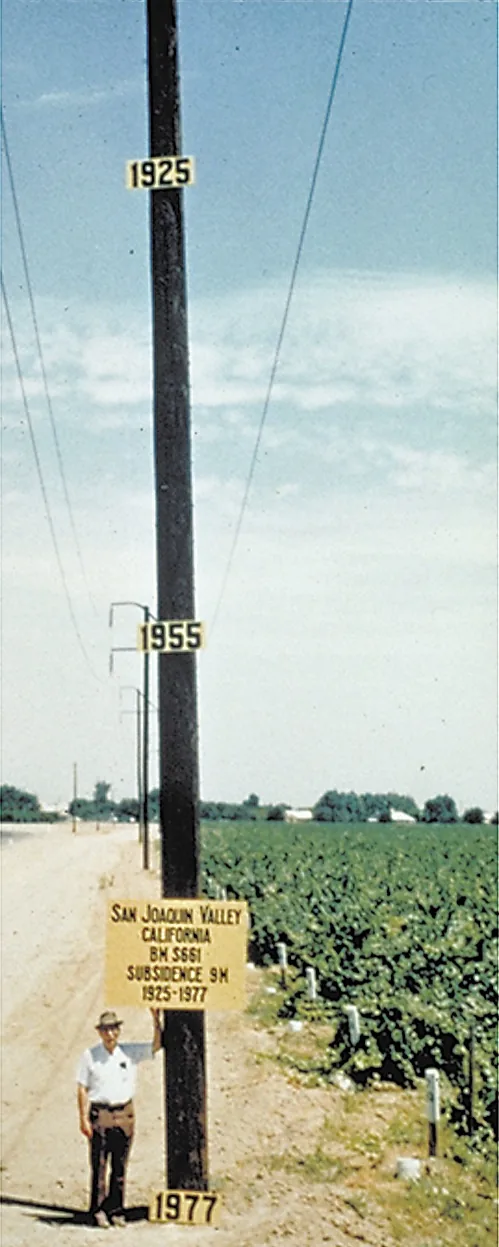
Groundwater pumping, mining, wet slopes, peat and soft clay keep the ground moving for years. Knowing where it moves lets you plan the work instead of reacting to it.
Built for power lines first, and just as useful on any linear asset or site where the ground under it matters.
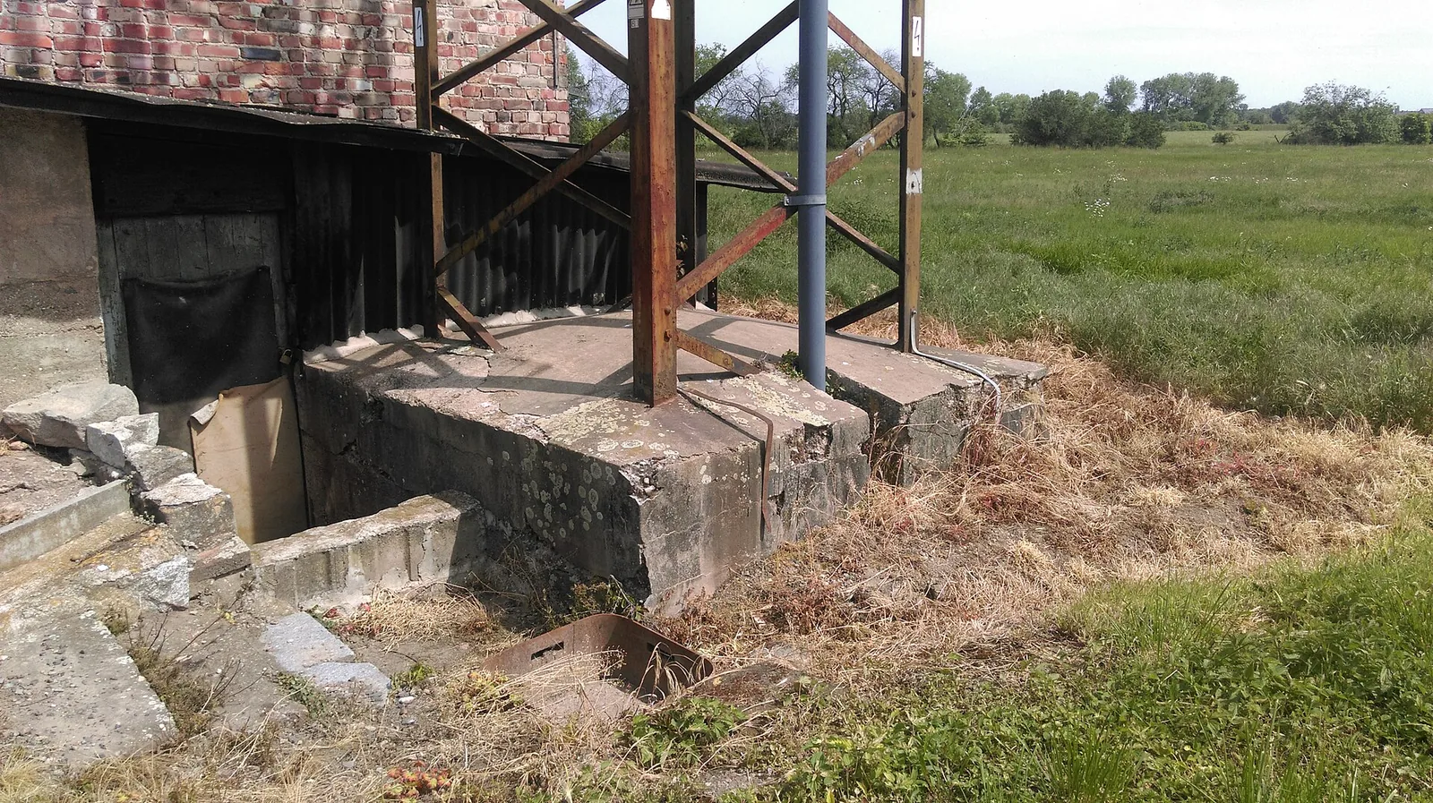
Settlement and creep under each footing and pad, so you know which structures to inspect first.
The concrete footing of a river-crossing transmission tower. Photo: HighVoltage 5576, CC BY-SA 4.0
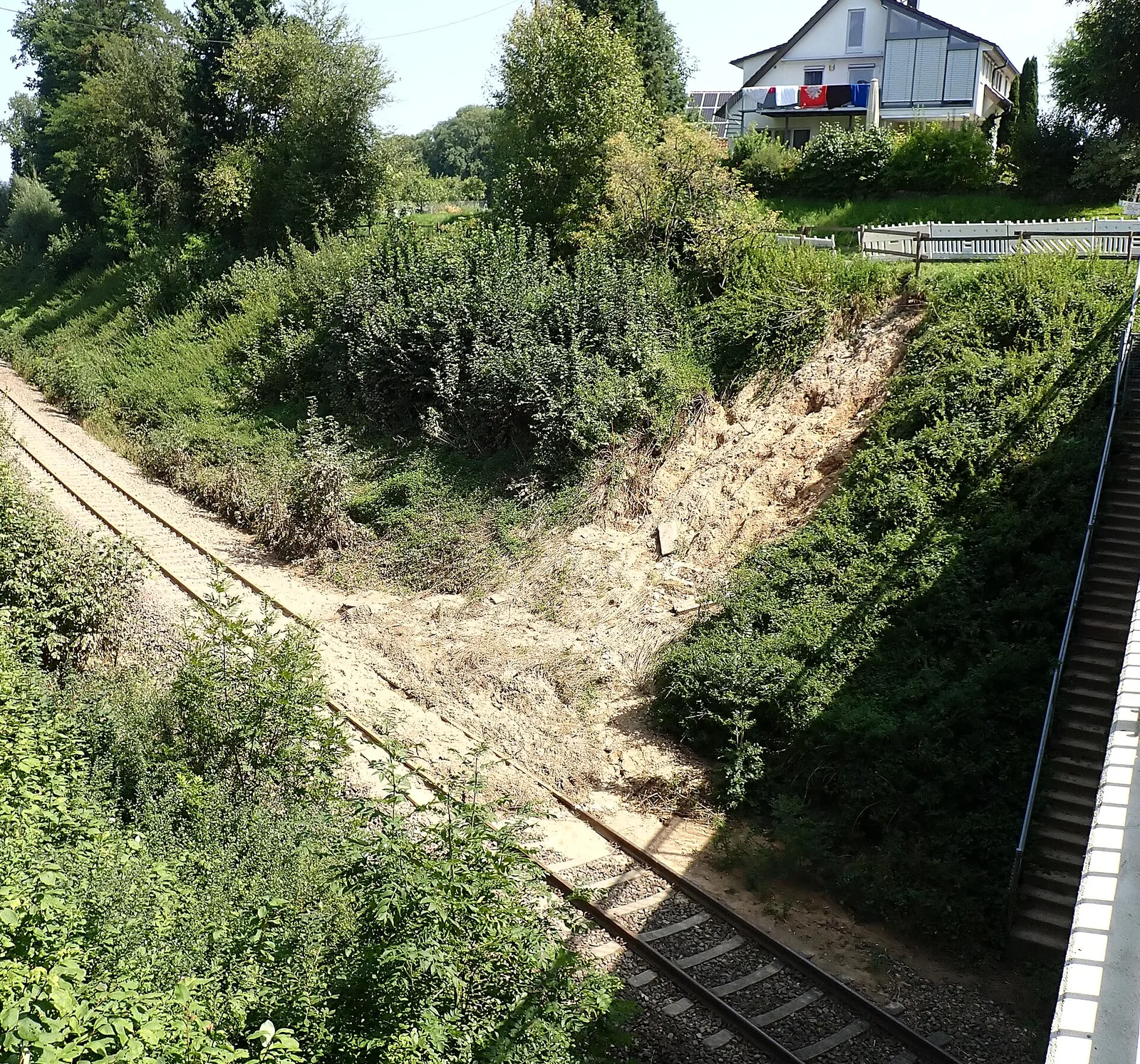
Track-bed settlement, embankment creep and slipping cuttings along the whole line.
A slope failure beside the railway near Zell, Germany. Photo: Cactus26, CC BY-SA 3.0, cropped
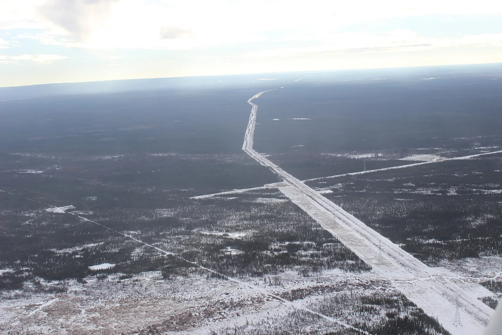
Slope movement, subsidence and frost heave along the right-of-way, where the buried pipe cannot be seen.
Pipeline rights-of-way cut through boreal forest. Photo: jasonwoodhead23, CC BY 2.0
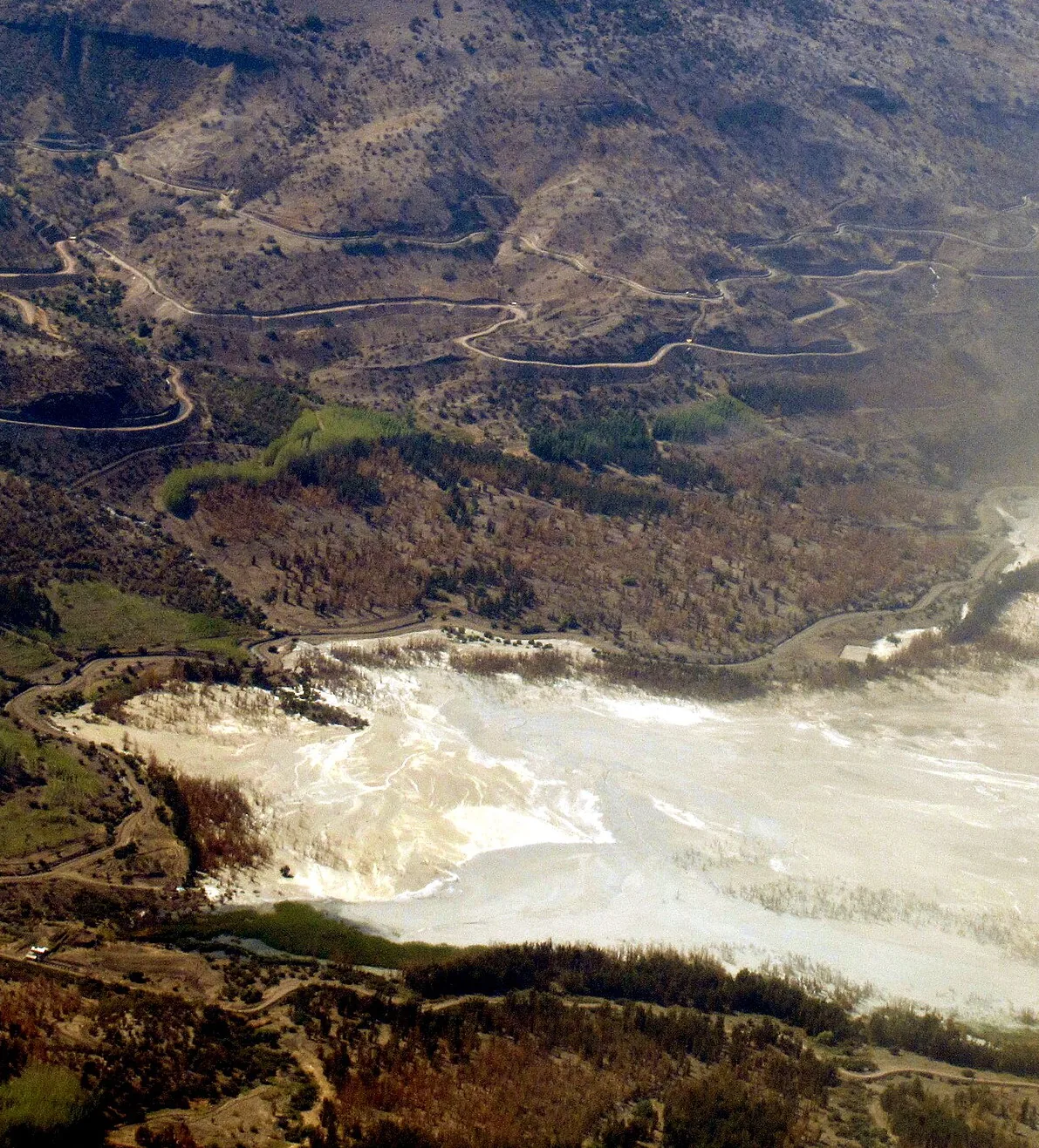
Movement of crests and walls, compared with how the structure is expected to settle.
A tailings facility in a mountain valley, seen from the air. Photo: WeHaKa, CC BY-SA 4.0, cropped
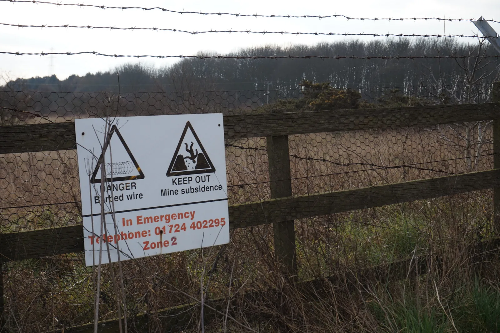
Subsidence over old and active workings, under lines, roads and buildings.
A fenced-off mine subsidence zone. Photo: Ian S, CC BY-SA 2.0
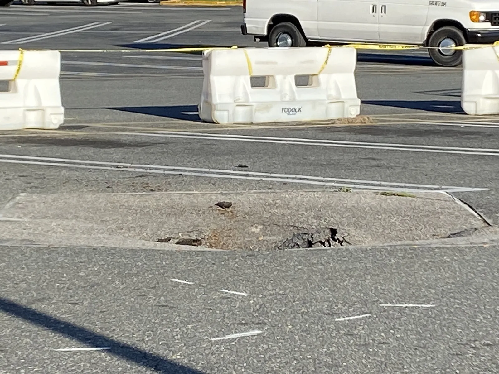
Local sinking in karst, peat and clay, and settlement of roads and embankments.
A sinkhole that dropped again after it had been patched. Photo: The Eloquent Peasant, CC0
Raw radar results are millions of points. GroundGuard ties them to your towers, poles and spans, so each structure gets its own movement record.
Rate and direction in millimetres per year, on the structure ID from your network data.
Acceleration flags show where movement is getting faster, and where it has stopped.
Clay that shrinks in summer and swells in winter, kept apart from lasting movement.
Around ten years of archive: a baseline of what the ground has already done.
Where the radar has good points, span by span, and where it needs a reflector.
Structures to check go to FieldGuard; GIS layers and an API feed your asset systems.
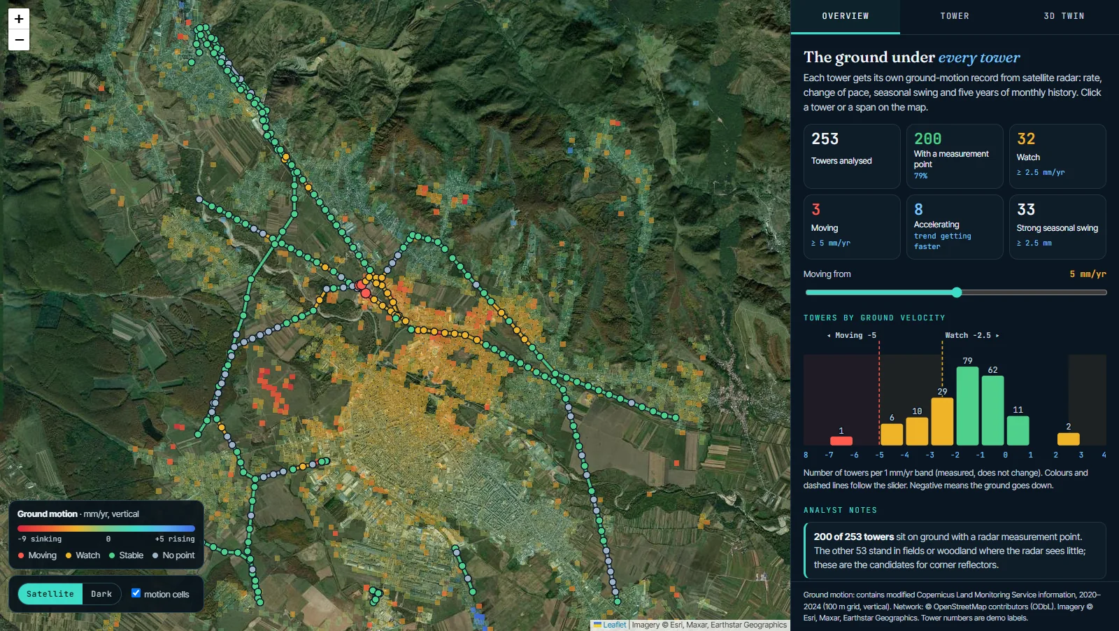
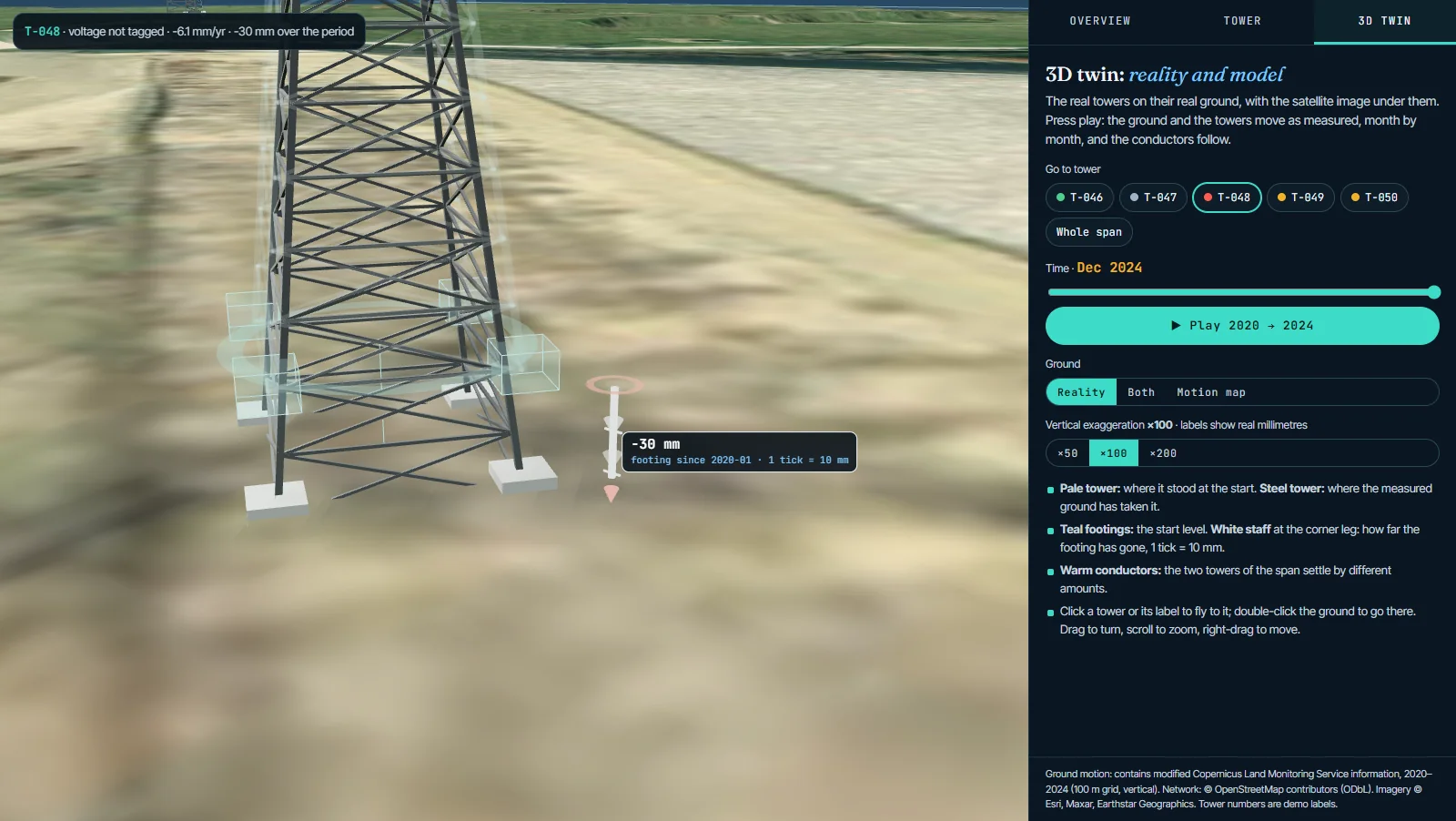
Three demo areas with public network maps and five years of measured ground motion. Pick an area, click any tower for its own record, then open the 3D twin and watch the footings move, month by month.
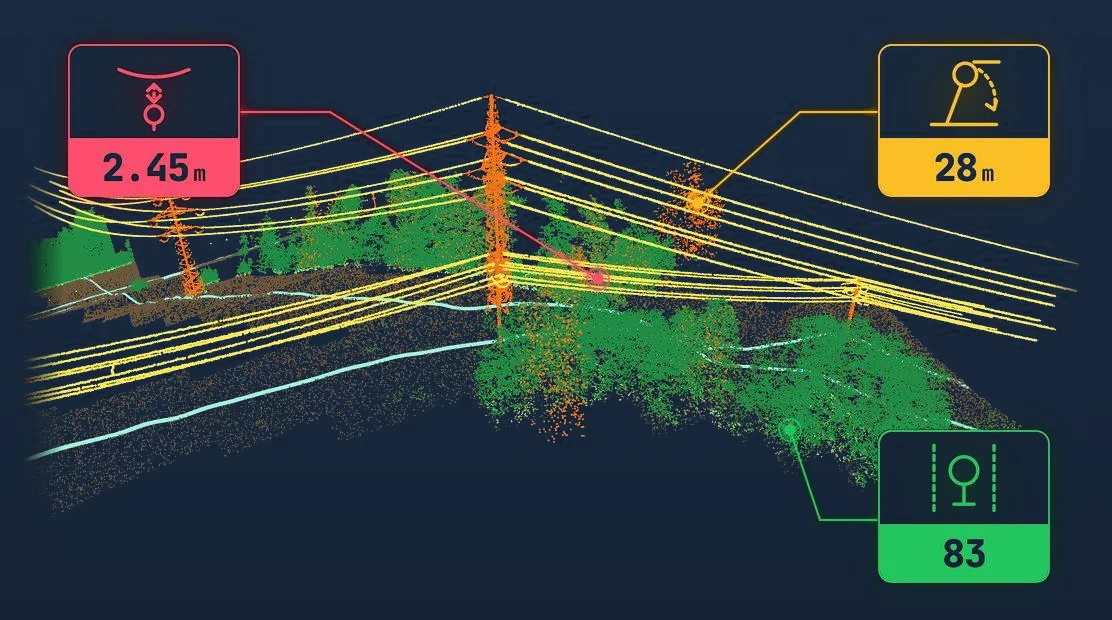
Ground movement means more when you know the terrain. LiDAR gives the slope, the shape of the ground and the height of every tree. On one span record, a slowly moving slope with tall trees above the line is a different priority from the same movement on flat, open ground.
Radar measures best on hard, stable surfaces: concrete footings, steel, rock and buildings. Over forest, crops and snow the signal changes too much between passes, so open country gives fewer points.
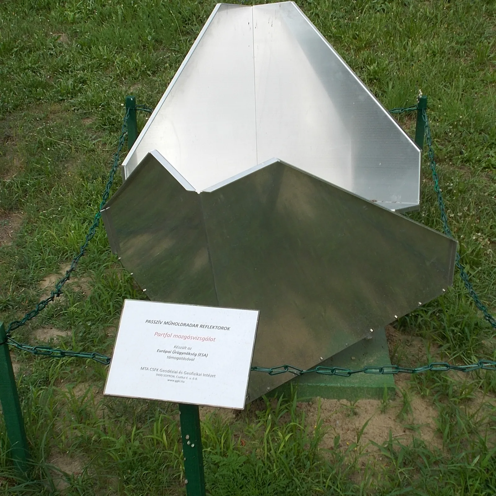
GroundGuard shows coverage span by span. Where a structure matters but has no natural point, a small corner reflector at its base gives the radar a fixed target.
The radar archive over your corridor shows which structures stood on moving ground in past years.
Output A baseline for every tower and span.New radar passes are added continuously, and movement rates and acceleration are updated.
Output Movement and acceleration flags.Flagged structures go to crews in FieldGuard with location, history and photos to take.
Output Field findings on the same record.Your engineers decide on repair, reinforcement or closer watch, with the full history in front of them.
Output A documented decision per structure.InSAR (interferometric synthetic aperture radar) compares radar images of the same place taken on different passes of a satellite. When the ground moves between passes, the returning radar wave arrives slightly earlier or later. Measured over many passes, this shows ground movement of a few millimetres per year.
On hard, stable targets such as tower footings, buildings and rock, movement of a few millimetres per year can be measured once enough passes have been collected. Accuracy depends on the number of passes and on how stable the surface is. Over forest and fields there are fewer points, and GroundGuard shows coverage span by span.
Yes, where the tower or the ground around its footings gives a stable radar point. Where it does not, a small corner reflector at the base gives one. Results are tied to the tower ID from your network data.
Less well than on hard ground: leaves, crops and snow change between passes, so open country gives fewer points. GroundGuard shows where coverage is good and where it is thin, adds corner reflectors where a structure needs a guaranteed point, and uses LiDAR terrain to read the slope around it.
It detects slow movement that is already happening, typically millimetres to centimetres per year, which is how many slopes behave long before they fail. Very fast or sudden movement is beyond it. GroundGuard reports measured movement; it does not forecast failures.
The satellite measures movement along its viewing direction, called the line of sight. Combining passes from two directions, one on a northbound and one on a southbound orbit, separates vertical movement from east–west movement.
GNSS and levelling measure a few points very precisely. InSAR measures thousands of points along the whole corridor with no equipment on site. They work well together: ground instruments confirm what InSAR finds on critical structures.
Radar archives cover most of the world for around ten years. That means you start with a baseline of what the ground has already done, not with a blank page.
Yes. The GroundGuard live demo shows three areas with public network maps and five years of measured ground motion: transmission towers on creeping mountain slopes in the Bologna Apennines (Italy), hill country around Câmpina in the Carpathian foothills (Romania), and settling ground on the Prahova plain (Romania). Every tower has its own record and a 3D twin.
Yes, where the satellite sees the slope from two directions. Combining both views gives vertical and east–west movement. On a mountain slope the ground often travels sideways more than it sinks, and that sideways creep is what pulls a tower footing out of line.
Not for most of the network. Corner reflectors are optional and go only where a structure needs a guaranteed measurement point.
As GIS layers (Esri, GeoJSON, shapefile), as FieldGuard work packages for site checks, and through an API to asset management systems such as SAP PM.