Drive the street.
Every pole you capture disappears.
The poles are loaded onto the map before the drive. The moment the cameras have a good enough view of one, it drops off the map and the results table fills up underneath. What stays on the map is what is still to do — and a route planner tells the driver where to go next.
The driver's screen
Everything on this page came out of one basic action camera
A GoPro on a windscreen. A few hundred dollars, no mounting work, no calibration, no operator. From that we get the map, the detections, the vegetation and the 3D you see below — which is exactly the point we want to make.
For a real survey the camera is the wrong tool: fixed optics, rolling shutter, no calibration and a phone-grade GPS. That is what our own vehicle system is for.
It starts as a replay of one of those drives: real GPS track, the drive's own camera frames, the detector's hits on every frame. In the ⚙ menu you can switch to the planned route, or to any of the other seven drives.
The same drive, in 3D
The footage is not only pictures. From a single pass the street is reconstructed in 3D: 400,000+ points, 4 cm ground noise, 0.05% scale error against a tape measurement. That is where vegetation height comes from — and where a pole's position can be measured instead of assumed.
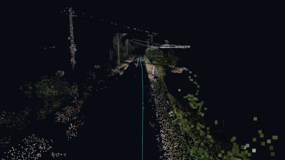 Starts only when you ask: it uses the graphics card.
The one-minute version
What is real here, and what is not
- Real: the pole positions along the route (from our own survey), the road network, the GPS tracks of eight drives, all 1,039 frames of one drive with the detector's hits, and the 3D reconstructions.
- Simulated: the car moving along the planned route, and the RTK status indicator.
- Not claimed: in this demo a pole drops off the map when it was inside a camera's field of view. In production it drops off only when the detector has also found it in the expected direction — that needs RTK heading on the vehicle, and we measured that a phone-grade GPS track is not enough for it.
- Vegetation height appears only where a 3D reconstruction of that street exists. Everywhere else the table says so, rather than showing a number nobody measured.