Any camera on a windscreen.
The same analysis.
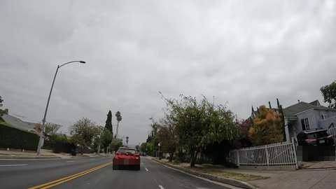
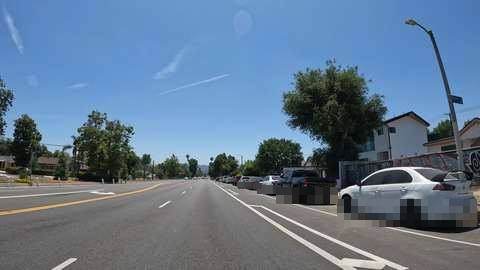
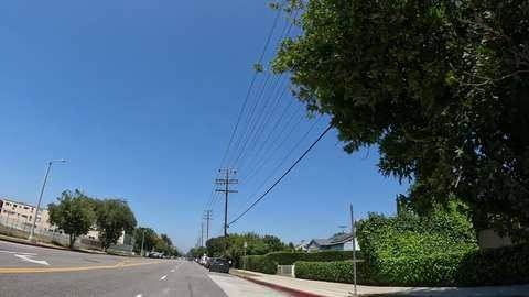
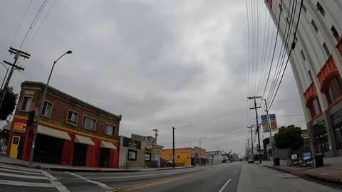
Every drive below was recorded with an off-the-shelf action camera, not with our vehicle system — which is the point: the analysis does not depend on our hardware. Open any of them and you get the vegetation grid along the corridor, the detected assets, the measured heights, and the frame behind every number.
Every drive below came out of one basic action camera
A GoPro on a windscreen. A few hundred dollars, no mounting work, no calibration, no operator. From that comes every map, detection, vegetation grid and measured height on these pages — which is exactly the point we want to make.
For a real survey the camera is the wrong tool: fixed optics, rolling shutter, no calibration and a phone-grade GPS. That is what our own vehicle system is for.
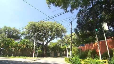
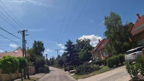
Send us a few streets of your own. The first analysis is free.
What makes these pages worth looking at is what they were made from: the most basic camera footage there is. An action camera on a windscreen, a few hundred dollars, no rig and no mounting work. Send us the same from your own network and you get back a page like these — the analysis, not the raw video. Treat it as a test of the method, not as a finished survey; for that we bring our own system.
First run free, one area per organisation, up to 30 minutes of footage. Get in touch and we will send the upload details.
How to read these pages
- Vegetation cells — 5 m cells along the corridor, coloured by estimated height band. A band, not a single number: the estimate comes from the segmentation and the horizon, so we publish <3, 3–6, 6–10, 10–15, >15 m.
- We only measure where the foot of the plant is visible. Where it is not, the cell stays empty instead of being guessed.
- Detected poles — found by our detector and shown only where the detection is confident, each one clickable back to the frame it came from.
- Work sites — where the vegetation is close enough to the line to be worth a visit.